The Ramsar Site
Tadewara Marsh Area Guide
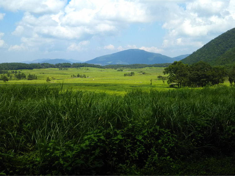
The Tadewara Wetland is situated on the northwest side of the Kuju Mountain Range at an elevation of approximately 1,000m above sea level. Created by an upwelling of fresh spring water collected from the surrounding mountains, Tadewara is a valley rich with plant and animal life.
Each spring, the grasslands are subject to controlled burnings, known as noyaki. This is done in order to keep shrubs and trees from spreading across the grasslands and to preserve their rich natural habitats. Without this human intervention the grasslands would be taken over by forest, and diversity would be lost.
The natural wealth of the area were important factors in the site being designated a Wetland of International Importance under the Ramsar Convention in 2005.
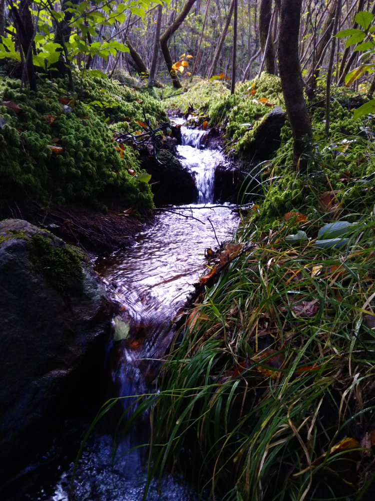
Fresh spring water into The Tadeware Wetland
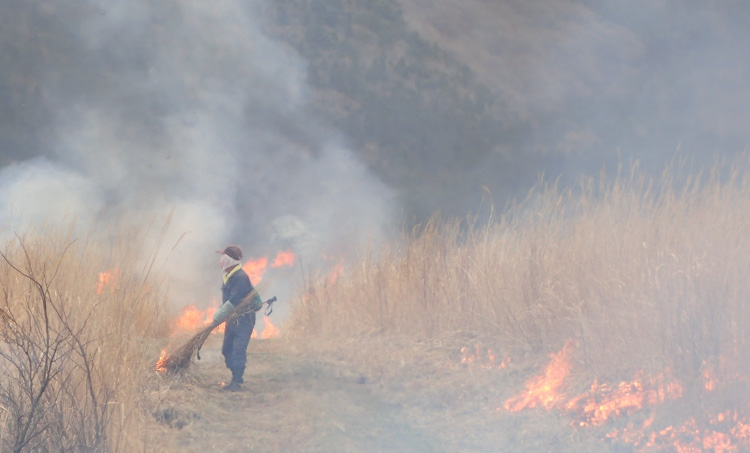
Controlled burnings in the wetland every spring
Chojabaru Nature Trail
Guide Map
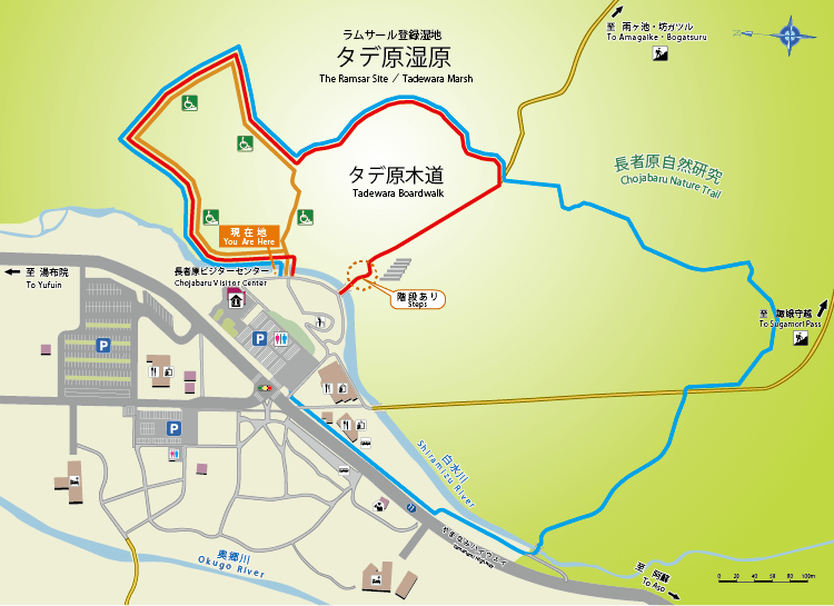
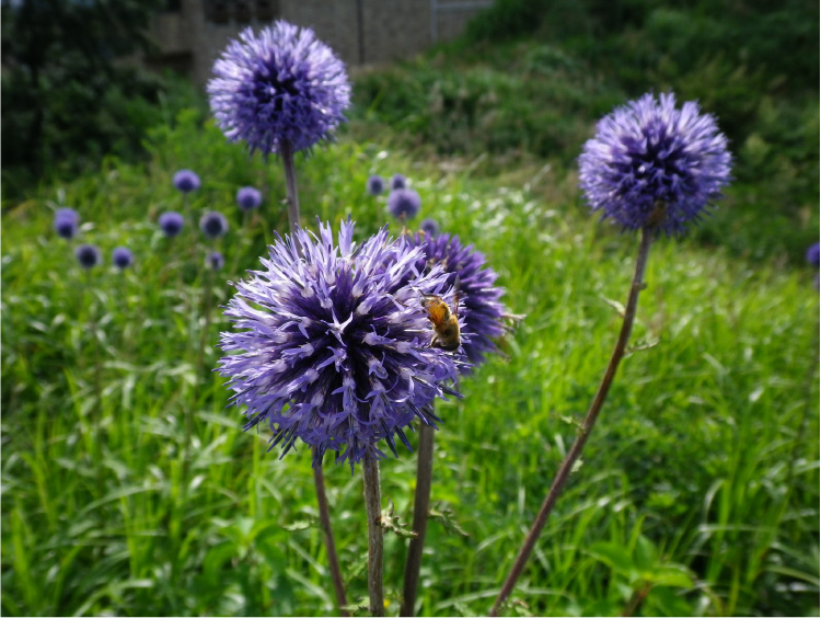
![]() The trail, a walk through both wetland and foreston which seasonal plants and flowers can be viewed. Approximately 2,500m long, the walk can be done in about 60 minutes.
The trail, a walk through both wetland and foreston which seasonal plants and flowers can be viewed. Approximately 2,500m long, the walk can be done in about 60 minutes.
Rule & Manner
 Do not hurt wildlife
 Do not step off the boardwalk
 Please take your trash home
 Watch your step on the boardwalk
 Drones are prohibited